
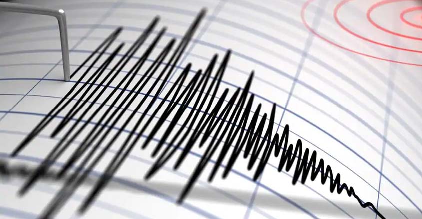
The northwestern region of Papua New Guinea was hit by a strong earthquake of 7.0 magnitude before dawn on Monday, as reported by the US Geological Survey.
The earthquake's epicenter was located 97 kilometres (60 miles) away from the coastal town of Wewak, with a depth of 62 kilometers, and it occurred at around 4:00 am local time.
The authorities have not issued any tsunami warning in the affected area.
According to the US Geological Survey, the recent 7.0 magnitude earthquake in northwestern Papua New Guinea could cause damage to the area due to liquefaction, which may cause subsidence and horizontal sliding of the ground.
Although the region is sparsely populated, the loosening of the soft ground in the quake zone has the potential to cause harm to nearby communities.
The epicenter of the earthquake was located approximately 100 kilometers east of the border with Indonesia on the island of New Guinea.
In late February, the eastern part of Papua New Guinea's archipelago, the remote New Britain region, was also hit by a magnitude 6.2 earthquake.


0 Comments